Situation

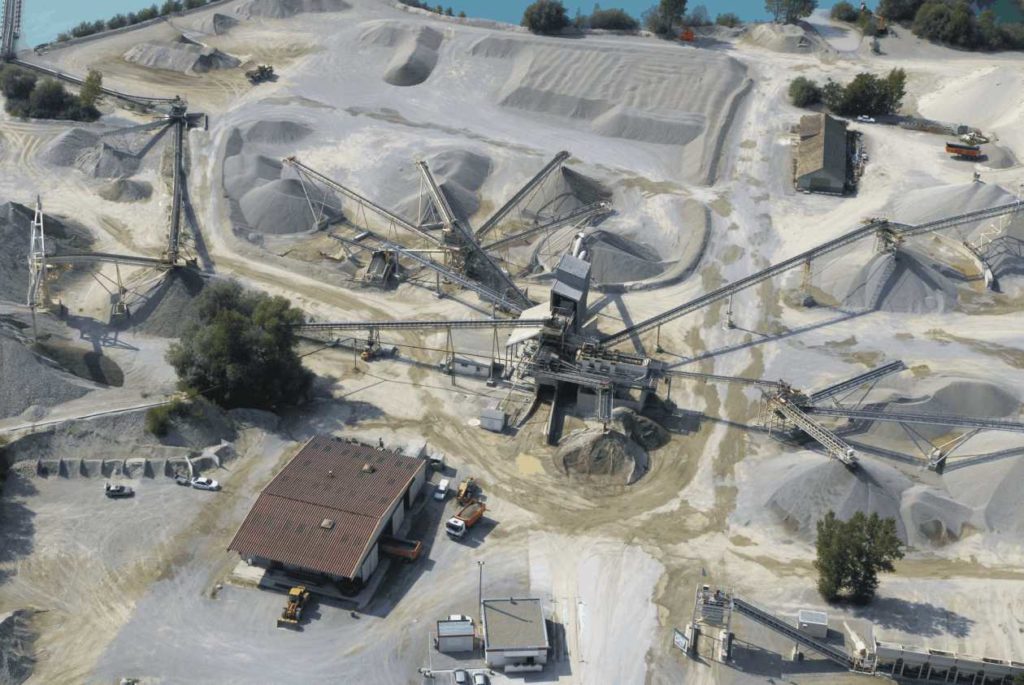
The Site of the Werny Ballastières stretches between the D468 and the Rhone Channel on the Rhine, about two kilometres south of Marckosheim.
It is located in the centre of the Alsace plain, in the heart of the alluvial deposit of the Rhine Valley and is located on the commune of Marckolsheim, south of the lower Rhine department.
Extraction authorization
The Werny Ballastières site covers a total area of 64 hectares. The water body alone represents about 42 hectares.
The licence to operate was renewed for a period of 25 years by the prefectural authorization dated December 5, 2008.

Description
The deposit is immersed in the water table of the Alsace plain, fed by the waters of the Rhine. It consists of Rhineal alluvials of silico-limestone nature of granularity 0/100. The development of the deposit is planned up to the altitude rating 98 NGF under a discovery of about 50 centimeters.
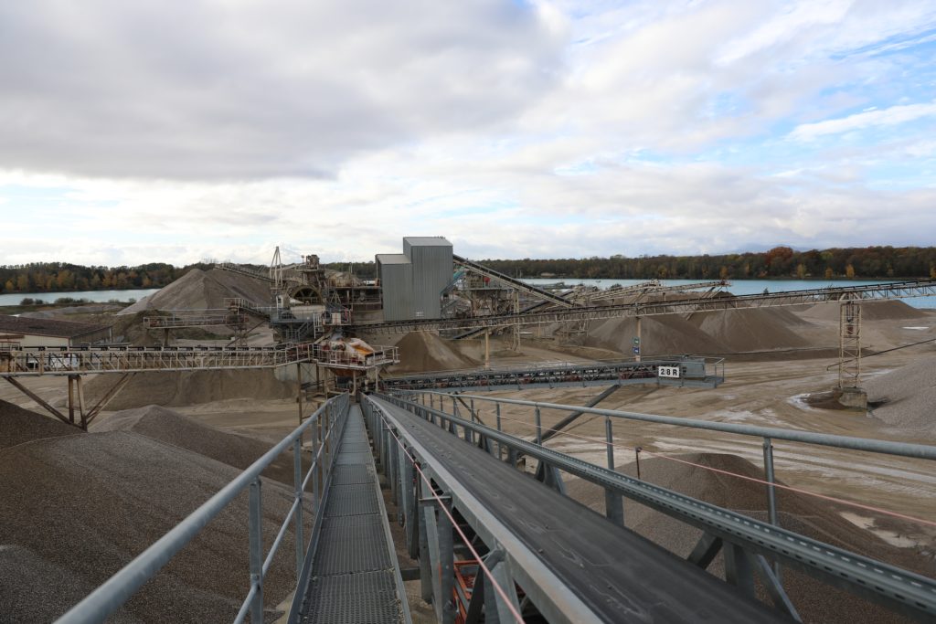
The extraction is done underwater by a floating dredge. The raw material (all-comers) is transported to the bank via conveyor strips mounted on orientable floating pontoons, and then by fixed conveyor strips on the ground, spilling onto a stock known as “all-comers stock”.
From this stock the materials are:
- be taken back to the charger and marketed as a natural all-comer, for form layer or foundation layer for public works,
- be taken back under the stock and directed to a screening and crushing washing facility.
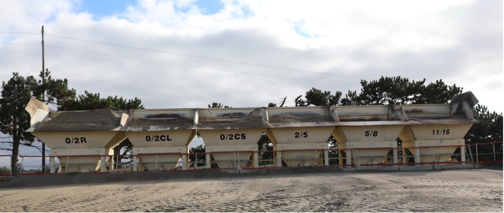
We also have the possibility, for the specific needs of our customers, to recompose materials (recomposed sands, crushed mixtures, GNT 0/14 type B2) from a recomposition plant also called GNT power plant.
